Support
+966112059666
Mobile Mapping
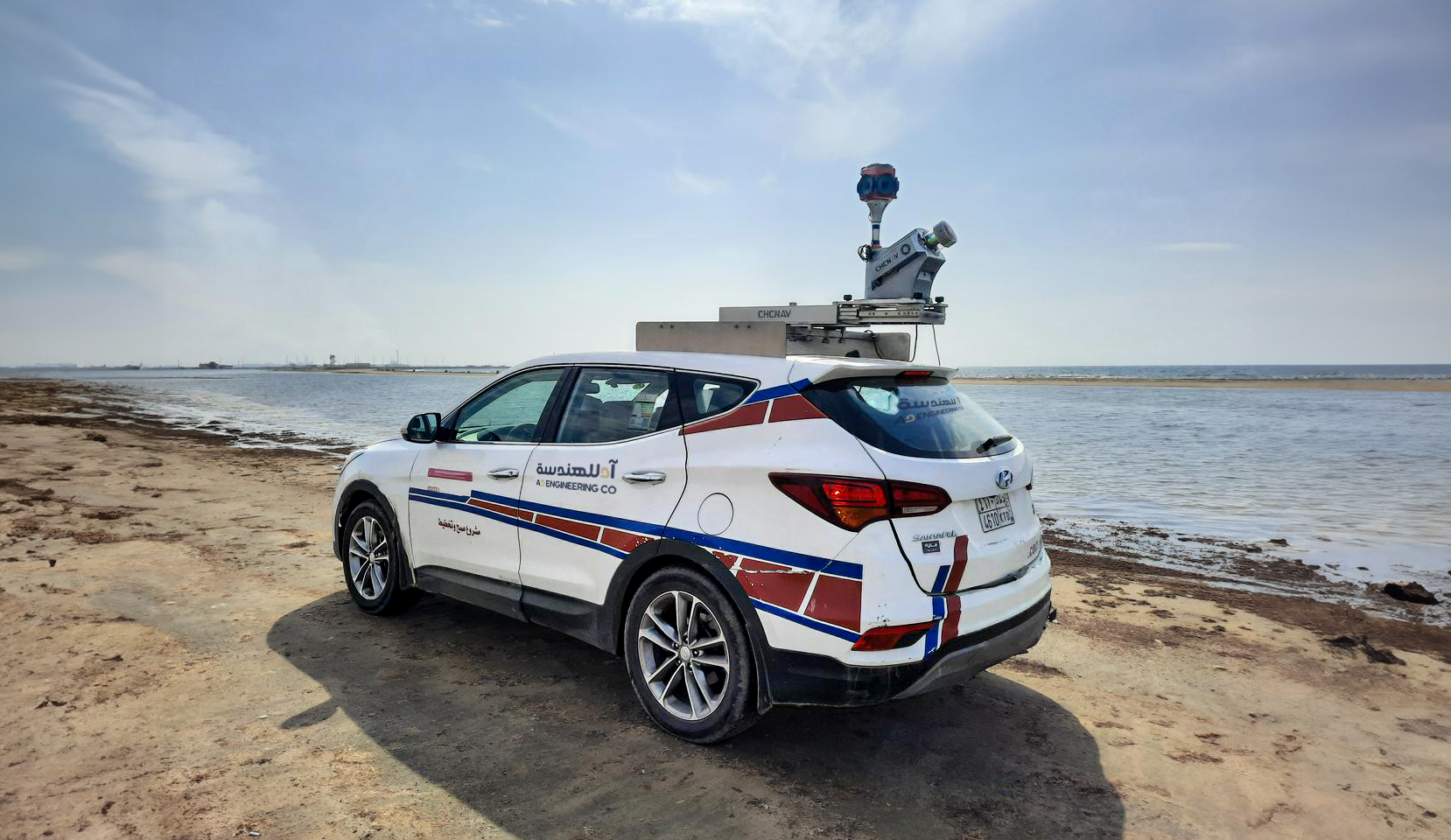
Mobile Mapping: is the process of collecting geospatial data from a mobile vehicle, typically fitted with a range of GNSS, photographic, radar, laser, LiDAR, or any number of remote sensing systems. Such systems are composed of an integrated array of time-synchronized navigation sensors and imagining sensors mounted on a mobile platform. The primary output from such systems includes GIS data, digital Maps, and georeferenced images and video.